
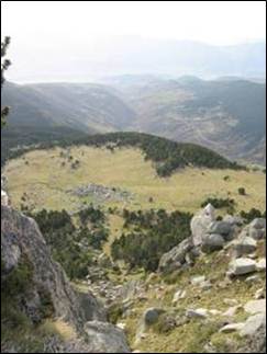

The accumulation of tropospheric ozone increasingly affects Mediterranean-type climate areas, with implications to high population densities, agriculture and forests. This project focues on Yosemite and Sequoia/Kings Canyon National Parks in California, USA and the region of La Cerdanya in Catalonia, Spain.
To integrate the interaction between environmental effects on Mediterranean vegetation and those caused by O3, an improved understanding of mechanisms of O3 impacts is required. This can be approximated using GIS models of environmental variables related to plant water relations – water usage and water availability.
 With remote sensing we can do species level classifications to focus on a single bioindicator species, and then use imaging spectroscopy techniques to measure biophysical parameters related to the effects of tropospheric ozone on forest health.


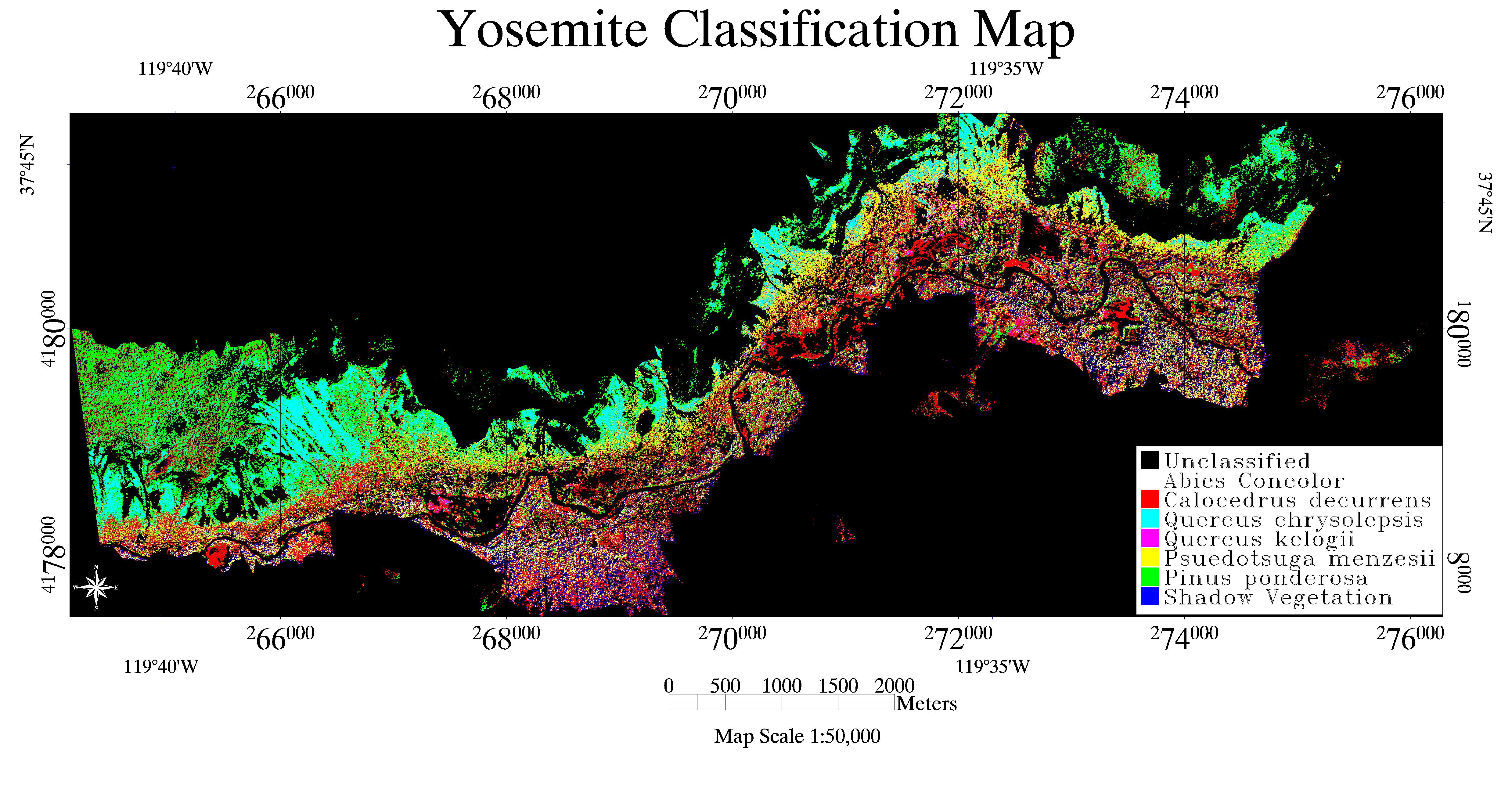
The Ozone Injury Index provides a good framework for the development of a conifer-specific field assessment technique for ozone injury. Combined with digital elevation models of local scale hydrology, GIS spatial data layers, and remote sensing derived classification maps and vegetation health indices, we developed models of ozone injury according to the following workflow:

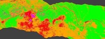
Resulting in this example model of ozone injury to the conifer species Pinus uncinata in the la Cerdanya region of Catalonia, Spain.
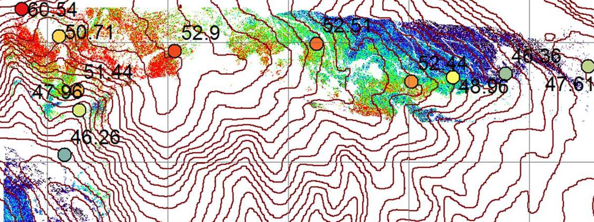
GIS hydrological modeling techniques, with improved DEMs and satellite imagery with global coverage and hyperspectral airborne and satellite sensors with increasing spectral and spatial resolution will make these ozone injury techniques more effective.
